Surveying & Field Investigation Projects

Surveying & Field Investigation Projects
Comprehensive surveying and geotechnical investigations to support infrastructure development. This includes topographic mapping, boundary demarcation, soil testing, and geophysical surveys essential for planning and execution of engineering projects.
-
Topographical & cadastral surveys
-
Soil & rock investigations
-
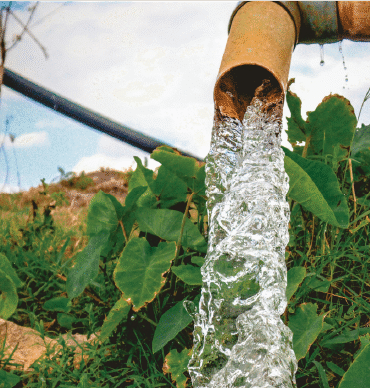
Hydrological studies
-
GIS mapping and analysis
Clients:
Category:
Surveying
Date:
20 August, 2021


